According to data available on the rural development ministry’s portal, around 30 percent of the rural land parcels in the country have been given a Unique Land Parcel Identification Number (ULPIN) or Bhu-Aadhaar.
About Bhu-Aadhaar:
Bhu-Aadhaaris also known as Unique Land Parcel Identification Number (ULPIN).
ULPIN was launched in 2021 as part of the Central government’s Digital India Land Records Modernisation Programme (DILRMP).
It aims to streamline and bring uniformity to the process adopted by states in assigning unique identification numbers to land parcels.
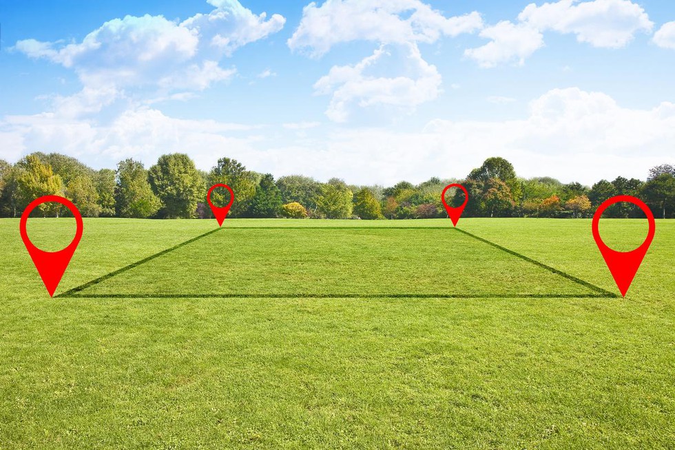
It is accorded to a land parcel based on the longitude and latitude coordinates of the land parcel and depends on detailed surveys and geo-referenced cadastral maps.
Under this initiative a 14-digit alpha-numeric identity is given to each land parcel.
It contains State code, District code, Sub-district code, Village code and a Unique plot ID number.
Once the ULPIN or Bhu-Aadhaar is generated, it is stamped on the physical land record document held by the owner.
The same ULPIN will be permanently attached to the plot of land. Even if the land is transferred, sub-divided, or undergoes any change, the ULPIN will remain the same for that geographic boundary.
Key objectives of ULPIN/Bhu-Aadhaar are
To assign a unique ID to each plot of land for easy identification and retrieval of records.
To create accurate digital land records with details of land owners, plot boundaries, area, usage, etc.
To link land records and property registration processes
To facilitate online delivery of land record services
To assist in government planning by maintaining updated land data
Dear Student,
You have still not entered your mailing address. Please enter the address where all the study materials will be sent to you. (If applicable).