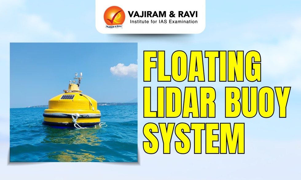
About Floating LiDAR Buoy System:
- It is a high-tech ocean-based instrument used to measure wind conditions over the sea.
- It combines a floating platform (buoy) with LiDAR technology, short for Light Detection and Ranging.
- It uses laser pulses to measure atmospheric conditions with high precision.
- Purpose: It is designed to measure wind profiles and atmospheric conditions over the ocean. It can track wind speed and direction and changes in wind at different heights.
- Working of Floating LiDAR Buoy System:
- The system uses LiDAR (Light Detection and Ranging) technology.
- The buoy in this floats on the ocean surface and emits laser pulses into the atmosphere.
- These pulses bounce back after hitting particles in the air and the returned signals are analysed to measure wind movement and patterns.
- This allows scientists to gather highly accurate, real-time data from areas where traditional instruments may struggle.
- Unlike traditional instruments, this buoy can capture detailed wind data up to 300 metres above sea level.
- Significance: Better weather prediction, improved storm and cyclone tracking and understanding climate change impact will help scientists to know how sea works.