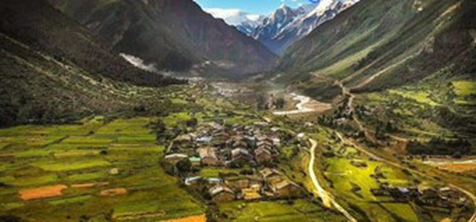
About Gunji Village:
- Location:
- It is located in Dharchula tehsil of Pithoragarh district in northern Uttarakhand.
- It is situated near the borders of Tibet and Neal and the confluence of the Kuthi Yankti and Kalapani Rivers, on the east end of the Kuthi Valley.
- The geographical area of Gunji village is 188.9 hectares.
- Altitude: 3500 meters
- It overlooks Mount Api in Nepal.
- The people residing here are seasonal migrants. With winters coming, people migrate to lower places (mostly to Dharchula) in the same district.
- As per the 2011 census, the village of Gunji has a population of 335 people living in 194 households.
- Gunji village is administered by Sarpanch (Head of Village) who is elected representative of the village.
- The village is on the traditional Indian/Nepalese route to Kailas–Manasarovar.
- To visit Gunji, one has to obtain an Inner Line permit.
What is an Inner line permit (ILP)?
- ILP is an official travel document issued by the Government of India to allow inward travel of an Indian citizen into a protected area for a limited period.
- It is obligatory for Indian citizens from outside those states to obtain a permit for entering the protected state.
- The document is an effort by the government to regulate movement to certain areas located near the international border of India.
- This is an offshoot of the Bengal Eastern Frontier Regulations, 1873, which protected the Crown’s interest in the tea, oil and elephant trade by prohibiting “British subjects” from entering into these “Protected Areas”.
- The word “British subjects” was replaced by Citizen of India in 1950.
- There are different kinds of ILPs, one for tourists and others for people who intend to stay for long-term periods, often for employment purposes.
