INDIAN REGIONAL NAVIGATION SATELLITE SYSTEM (IRNSS)
Nov. 21, 2020
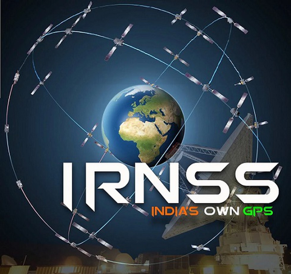
The Indian Regional Navigation Satellite System (IRNSS) has been accepted as a component of the World Wide Radio Navigation System (WWRNS) for operation in the Indian Ocean Region by the International Maritime Organization (IMO).
About:
The Maritime Safety Committee (MSC) of IMO during its recent meeting (102nd session) held from 4 to 11 November 2020 has approved the recognition of the IRNSS as a component of the World-Wide Radio Navigation System.
This will enable merchant vessels to use IRNSS for obtaining position information similar to GPS and GLONASS to assist in the navigation of ships in ocean waters within the area covered by 50°N latitude, 55°E longitude, 5°S latitude and 110°E longitude.
Dear Student,
You have still not entered your mailing address. Please enter the address where all the study materials will be sent to you. (If applicable).