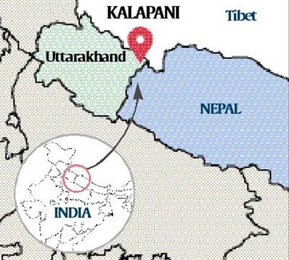
The new political map of India, recently released by the government to account for the bifurcation of Jammu and Kashmir, has triggered fresh protests over an old issue in Nepal.
About:
The new political map of India shows Kalapani as part of India.
Kalapani is a 372-sq km area mapped within Uttarakhand, bordering far-west Nepal and Tibet.
While the Nepal government and political parties have protested, India has said the new map does not revise the existing boundary with Nepal and accurately depicts the sovereign territory of India.
Dear Student,
You have still not entered your mailing address. Please enter the address where all the study materials will be sent to you. (If applicable).