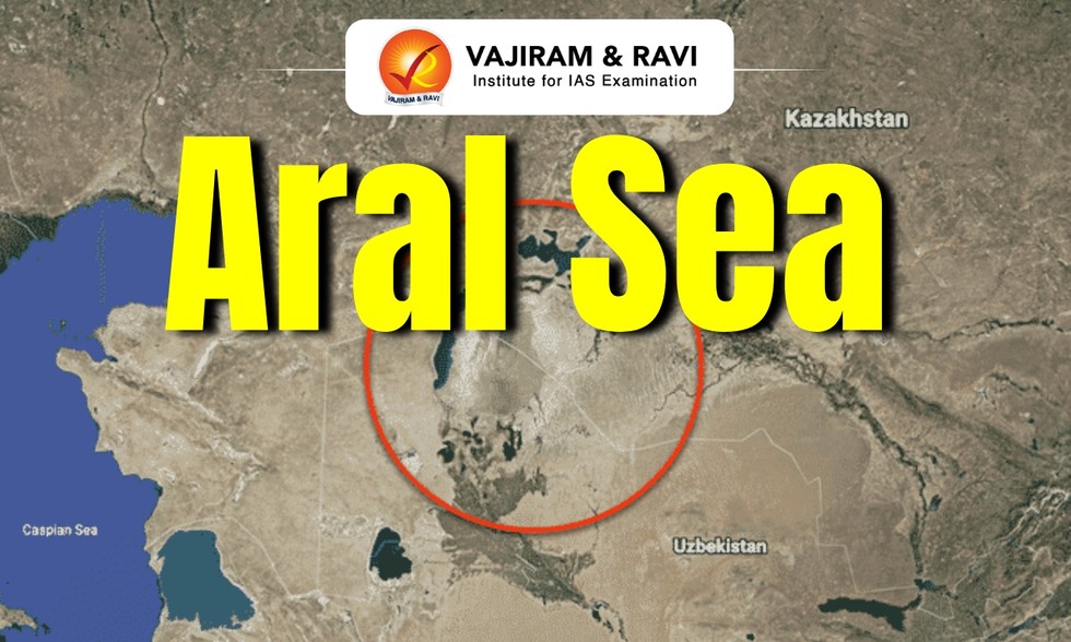
Drying of the Aral Sea has released more than 200 teragrams of carbon from exposed lake-bed sediments, turning a once-stable carbon reservoir into an active source of greenhouse gases, according to a new study.
About Aral Sea:
It is a saline lake in Central Asia straddling the boundary between Uzbekistan and Kazakhstan to the south and north.
It was once a large saltwater lake in Central Asia and the world’s fourth-largest body of inland water.
The remnants of it nestle in the climatically inhospitable heart of Central Asia, to the east of the Caspian Sea.
Formation:
The Aral Sea depression was formed toward the end of the Neogene Period.
It was made by waters from the Syr Darya and the Amu Darya rivers that were dependent on glacial melt.
Climate:
The Aral Sea is located within the harsh climate region of Central Asia.
The area experiences a desert-continental climate, characterized by hot summers, cold winters, and varying diurnal air temperature.
Reason for its Disappearance:
The lake once covered large area between the Kyzylorda and Aktobe regions in Kazakhstan and the Karakalpakstan region of Uzbekistan.
However, the lake started shrinking in the 1960s, when the Soviet government decided to divert the Syr Darya and the Amu Darya, to irrigate the surrounding desert region.
By the 1980s, the Aral Sea had shed 80% of its volume, resulting in the extinction of native fish species and severe ecological degradation, including the emergence of the Aralkum Desert.
Today it is on the verge of complete disappearance.
Dear Student,
You have still not entered your mailing address. Please enter the address where all the study materials will be sent to you. (If applicable).