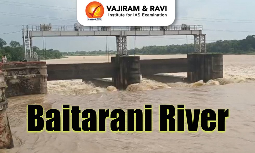
The Baitarani river briefly surged past the danger mark, triggering floods that have inundated several low-lying villages across Bhadrak district, Odisha, recently.
About Baitarani River:
It is an important east-flowing river in eastern India, primarily flowing through Odisha and partially through Jharkhand.
Baitarani, along with rivers like Mahanadi and Brahmani, forms a fertile delta.
Course:
Baitarani originates from the Gonasika Hills in Keonjhar district, Odisha, at an elevation of 900 meters above sea level.
At its source, it first flows undergroundthrough a small stream called Guptaganga before emerging again, making the site sacred.
The uppermost part of the river flows in a northerly direction.
Then it changes its path and flows eastward.
The beginning portion of Baitarani acts as the boundary between Odisha and Jharkhand.
It travels approximately 360 km before draining into the Bay of Bengal.
Total Basin Area: Approximately 12,790 sq. km.
The River basin is geographically bounded by several important river basins and water bodies:
South and West: Brahmani River basin
North: Subarnarekha River basin
East: Burhabalang River and the Bay of Bengal
Major Tributaries:
The river has 65 tributaries. Out of all the tributaries, 35 join from the left side and 30 join from the right side.
Major tributaries include Salandi, Gahira, Kusei, Deo, Kanjhari, Musal, Arredi, Siri, Kukurkata, Budhi, Ambajhara, and Remal.
The Baitarani basin possesses rich mineral and agricultural resources and thus offers an ideal ground for establishment of various industries.
Dear Student,
You have still not entered your mailing address. Please enter the address where all the study materials will be sent to you. (If applicable).