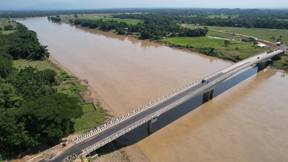
Key Facts about Barak River

Nov. 16, 2024

Three bodies, recently discovered in Manipur's Barak River, are feared to be connected to the disappearance of six people from a displacement camp.

About Barak River:

  • It is the second largest river in Northeast India after the Brahmaputra
  • The river runs through Manipur, Nagaland, Mizoram and Assam in India and Bangladesh.
  • Course:  
    • Origin: It rises from the Manipur hills, south of Mao in the Senapati district of Manipur at an elevation of 2,331 m.
    • It flows then along the Nagaland-Manipur border through hilly terrains and enters Assam.
    • It further enters Bangladesh where it is known by the name of the Surma and the Kushiyara and later called the Meghna before receiving the combined flow of the Ganga and the Brahmaputra.
    • It finally outfalls into the Bay of Bengal.
  • Length: Barak has a length of about 900 km of which, 564 km falls in India. 
  • The major part of the basin is covered by forest, accounting for 72.58% of the total area, and only 1.92% of the basin is covered by water bodies.
  • It is bounded on the north by the Barail range separating it from the Brahmaputra sub-basin, on the east by the Naga and Lushai hills, and on the south and west by Bangladesh.
  • Tributaries: The principal tributaries of Barak are the Jiri, the Dhaleswari, the Singla, the Longai, the Sonai, and the Katakhal.
  • The composite Ganga–Brahmaputra–Meghna basin covers nearly one-third of the land area of the Indian Union.