Communities along the Barak River say their nets have been empty following the June floods in a region once teeming with Hilsa, Rohu, and Catla.
About Barak River:
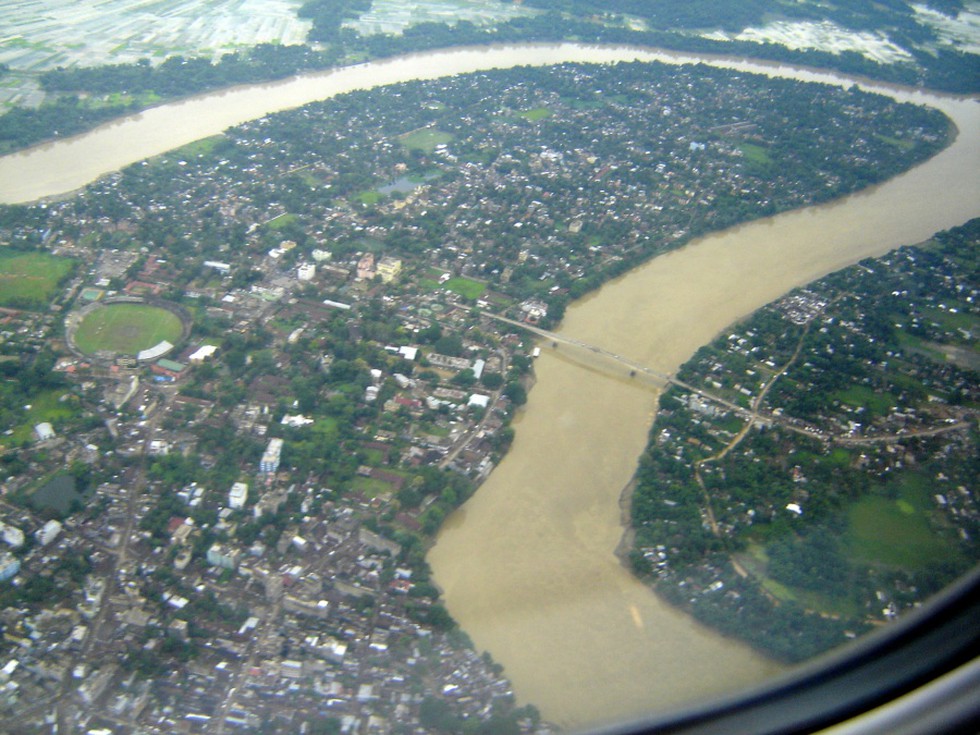
It is the second largest river in Northeast India after the Brahmaputra.
It runs through Manipur, Nagaland, Mizoram, and Assam in India, and Bangladesh.
Course:
Origin: It rises from the Manipur hills, south of Mao in the Senapati district of Manipur, at an elevation of 2,331 m.
It flows then along the Nagaland-Manipur border through hilly terrains and enters Assam.
Just before flowing into the neighboring country of Bangladesh, the Barak splits into the Surma River and the Kusiyara River.
These two rivers meet to form the Meghna River, which flows southward, joins the Padma River, and finally drains into the Bay of Bengal.
Length: Barak has a length of about 900 km. It spans 524 km in India, with a significant part along the Indo-Bangladesh border.
The Barak River basin, formed by the Barak and its tributaries, drains India, Bangladesh, and Myanmar.
The major partof the basin is covered with forest, accounting for 58% of the total area, and only 1.92% of the basin is covered by water bodies.
The basin is bounded by the Barail Range in the north, the Naga and Lushai Hills in the east, and Bangladesh in the south and west.
Tributaries: The key tributaries of the Barak River are Jiri, Chiri, Modhura, Jatinga, Harang, Kalain, Gumra, Dhaleswari, Singla, Longai, Sonai, and Katakhal.
The composite Ganga–Brahmaputra–Meghna basin covers nearly one-third of the land area of India.
Dear Student,
You have still not entered your mailing address. Please enter the address where all the study materials will be sent to you. (If applicable).