The Senapati Forest Division recently launched Participatory Rural Appraisal (PRA) exercises as a pilot initiative to rejuvenate the Barak River watershed while simultaneously strengthening local livelihoods.
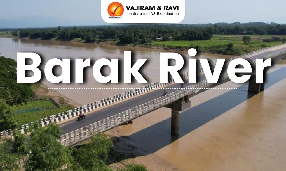
About Barak River:
It is a river in northeastern India that flows through Manipur, Mizoram, and Assam before entering Bangladesh.
It is the second largest river in Northeast India after the Brahmaputra.
Course:
It rises from the Manipur hills.
It flows then along the Nagaland-Manipur border through hilly terrains and enters Assam.
In Assam, the Barak Valley gets its name from the river.
Just before flowing intoBangladesh, the Barak splits into the Surma River and the Kusiyara River.
These two rivers meet to form theMeghna River, which flows southward, joins the Padma River, and finally drains into the Bay of Bengal.
The Barak River basin, formed by the Barak and its tributaries, drains India, Bangladesh, and Myanmar.
In India the basin spreads over states of Meghalaya, Manipur, Mizoram, Assam, Tripura, and Nagaland.
It is bounded by the Barail range separating it from the Brahmaputra basin on the north, by the Naga and Lushai hills on the east, and by the Mizo hills and the territory of Bangladesh on the south and west.
The entire basin falls in the Eastern Himalayan region of the Agro Climatic Zone.
The major part of the basin is covered by forest.
Due to the hilly topography, terrace farming is common in this region.
Tributaries: The principal tributaries of the Barak are Jiri, Chiri, Modhura, Jatinga, Harang, Dhaleswari, Singla, Longai, Sonai, and Katakhal.
There are four major dams, namely Khoupum Dam, Mawphlang Dam, Gumti Hydro Dam, and Myntdu-Leshka Dam.
Dear Student,
You have still not entered your mailing address. Please enter the address where all the study materials will be sent to you. (If applicable).