Russia’s Defence Ministry recently said that Russian warplanes prevented two U.S. strategic bombers from violating the state border over the Barents Sea.
About Barents Sea:
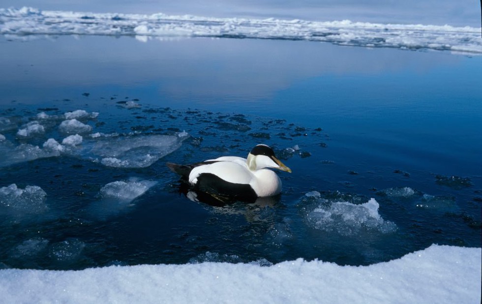
It is a marginal sea of the Arctic Ocean covering an area of 1.4 million sq.km.
It is located along the northern coasts of Norway and Russia.
The sea has been named in the honor of Willem Barentsz, who was a famous Dutch explorer.
The sea was known to Vikings and medieval Russians as the Murmean Sea.
Boundaries:
It is bounded by the Svalbard archipelago in the northwest, the Franz Josef Land islands in the northeast, the Novaya Zemlya archipelago in the east, the Norwegian Sea and the Greenland Sea in the west, and by the Kola Peninsula in the south.
It is separated from the Kara Sea by the Kara Straitand the Novaya Zemlya archipelago.
The White Seaand the Pechora Sea are two parts of the Barents Sea.
The White Sea is a southern arm of the Barents Sea, which separates the Kola Peninsula from the Russian mainland.
The Pechora Sea is situated in the southeastern part of the Barents Sea.
Features:
The maximum width of the Barents Sea is 1,050 km, and it is about 1,300 km in length.
The sea is relatively shallow and has an estimated average depth of 230 m.
The Barents Sea faces a subarctic climate.
The waters of the Barents Sea have a high salinity of 34 parts per 1,000.
The north-flowing ocean currentstransport the warm waters of the Atlantic into the Arctic Ocean through the Barents Sea.
It supports the highest seafloor biodiversity, which includes some of the world’s largest deep-water coral reefs and coastal kelp forests.
Dear Student,
You have still not entered your mailing address. Please enter the address where all the study materials will be sent to you. (If applicable).