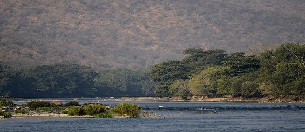
Key Facts about Kaveri River

July 5, 2024

The Karnataka state government has established a nine-member committee to investigate the contamination of the Kaveri River.

About Kaveri River:

  • Kaveri River, also known as the Cauvery River, is one of the major rivers of southern India, which is considered sacrosanct by the Hindus.
  • Course:  
    • It rises on Brahma Giri Hill of the Western Ghats in southwestern Karnataka, at an elevation of 1.341m (4,400 ft.) above mean sea level.
    • It flows in the south and east through Karnataka and Tamil Nadu and then across the southeastern lowlands, and finally surrenders in the Bay of Bengal through two principal mouths.
    • The total length of the river from origin to outfall is 800 km.
  • It is bounded by the Western Ghats on the west, by the Eastern Ghats on the east and south and by the ridges separating it from the Krishna Basin and Pennar Basin on the north. 
  • The Cauvery basin extends over the states of Tamil Nadu, Karnataka, Kerala and the Union Territory of Puducherry, draining an area of 81,155 Sq.km
  • Tributaries: Its important tributaries joining from left are the Harangi, the Hemavati, the Shimsha, and the Arkavati, whereas the Lakshmantirtha, the Kabbani, the Suvarnavati, the Bhavani, the Noyil, and the Amaravati joins from right.
  • Dams: Dams constructed across the river are Krishna Raja Sagara Dam and Mettur Dam and the Banasura Sagar Dam on the Kabini River, which is a tributary of Kaveri River.