China’s military recently said it conducted military drills including live-fire exercises in waters east of the Philippines’ Luzon Island.
About Luzon Island:
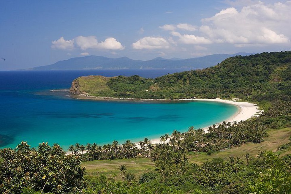
It is the largest and most important island of the Philippines.
It is found in the northern part of the country.
More than half of the Filipino population lives on Luzon.
Manila, the capital city of the Philippines, is located on this island.
It is bounded by the Philippine Sea (east), Sibuyan Sea (south), and the South China Sea (west).
To the north, the Luzon Strait separates Luzon from Taiwan.
Luzon’s coastline, more than 5,000 km long, is indented by many fine bays and gulfs, including Lingayen Gulf and Manila Bay on the west and Lamon Bay and Lagonoy Gulf on the east.
The important ranges are the Cordillera Central in the north; the Sierra Madre, following much of the east coast; and the Zambales Mountains on the central-western coast.
Mount Pulag (2,930 metres) is the island’s highest peak.
There are also famous volcanoes like Mount Mayon (known for its perfect cone shape) and Mount Pinatubo.
Luzon has the largest lake in the Philippines, the Laguna de Bay.
The major rivers are Cagayan, Abra, Agno, Pampanga, and Bicol.
In addition to Manila, the main cities of Luzon are Quezon City, Pasay, Cabanatuan, Legaspi, Baguio, Batangas, and Laoag.
Luzon leads the country both in industry (concentrated near Manila) and in agriculture (rice, corn [maize], coconuts, sugarcane, mangoes, bananas).
Dear Student,
You have still not entered your mailing address. Please enter the address where all the study materials will be sent to you. (If applicable).