A state government official recently stated that there is no fear of flood on the Mahanadi River system.
About Mahanadi River:
It is one of the major east-flowing peninsular rivers in India.
It ranks second to the Godavari River among the peninsular rivers in respect of water potential.
It is considered to be one of the most active silt-depositing streams in India.
Course:
Origin: The river originates from the Sihawa range of hills in the Dhamtari district of Chhattisgarh.
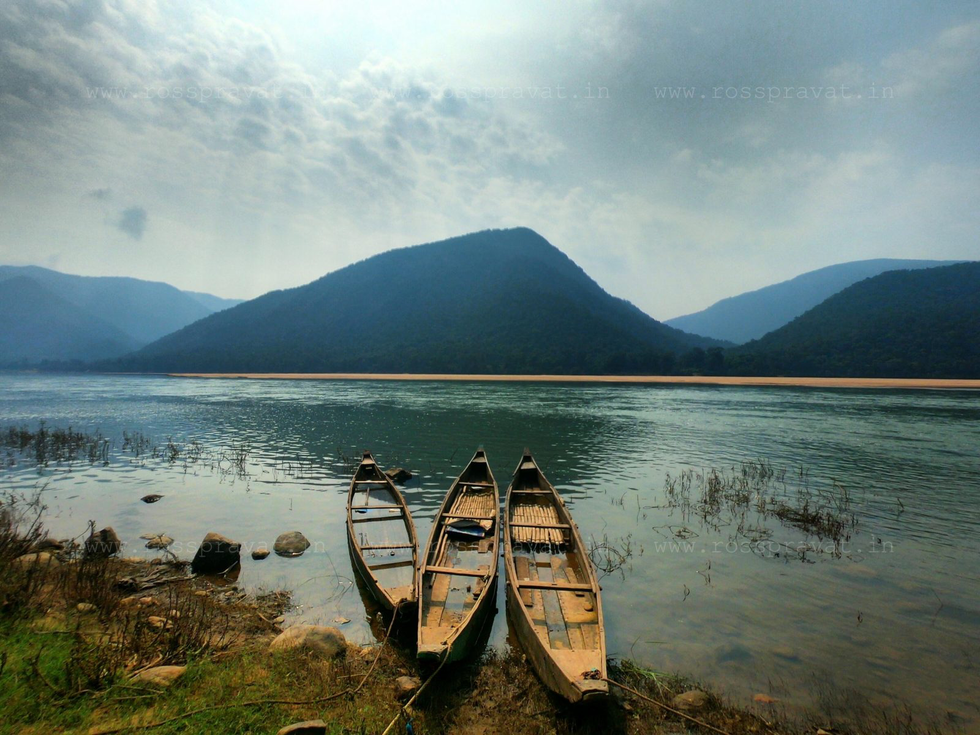
It flows in a southeastern direction through Chhattisgarh and Odisha.
Length: It flows a total of 860 km by distance before it ends up in the Bay of Bengal.
The catchment area of the basin extends over major parts of Chhattisgarh and Odisha and comparatively smaller portions of Jharkhand, Maharashtra, and Madhya Pradesh.
It passes through several major cities and towns, including Raipur, Sambalpur, and Cuttack.
The Mahanadi basin extends over an area of 141,589 sq.km, which represents 4.3% of the total geographical area of the country.
The river is bounded in the north by Central India hills, in the south and east by the Eastern Ghats, and in the west by the Maikal hill range.
Tributaries: The main tributaries of Mahanadi are the Seonath River, Jonk River, Hasdeo River, Mand River, Ib River, Ong River, and Telen River.
Hirakud Dam:
The Hirakud Dam, the world's longest earthen dam (26 km), is constructed across the Mahanadi River, about 15 km from Sambalpur in Odisha.
The dam is used for irrigation, flood control, and power generation.
Chilika Lake: Chilika, named a wetland of international importance under the Ramsar Convention, gets 61% of its inland flow from the Mahanadi River system, mainly from its distributaries - Daya and Bhargabi.
Dear Student,
You have still not entered your mailing address. Please enter the address where all the study materials will be sent to you. (If applicable).