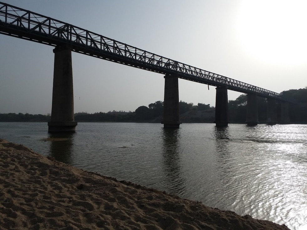
Two youngsters died by drowning in Mahi River near Kotna village on the outskirts of the Vadodara city recently.
About Mahi River:
It is one of the major west-flowinginterstate rivers of India. It extends over the states of Madhya Pradesh, Rajasthan, and Gujarat, having a total drainage area of 34,842 Sq.km.
Course:
It originates from the northern slopes of Vindhyas at an altitude of 500 m near village Bhopawar, in the Dhar district of Madhya Pradesh, and flows through Madhya Pradesh for about 120 km in a southerly direction.
It then enters the south eastern portion of Rajasthan, which is the Vagad region. The river flows through the Banswara district, which comes under the Vagad region.
Before entering Gujarat, the river makes a 'U'-shaped loop in Rajasthan.
It drains into the Arabian Seathrough the Gulf of Khambhat.
It is bounded by the Aravalli Hills on the north and the north-west, by the Malwa Plateau on the east, by the Vindhyas on the south, and by the Gulf of Khambhat on the west.
Tributaries: The main tributaries of the river are Eru, Nori, Chap, Som, Jakham, Moran, Anas, Panam, and Bhadar.
The Mahi River has a dam on it, namely, the Mahi Bajaj Sagar Dam. The whole of Gujarat gets water to drink and electricity from the dam.
Dear Student,
You have still not entered your mailing address. Please enter the address where all the study materials will be sent to you. (If applicable).