India's Mahi River, originating in Madhya Pradesh, uniquely flows west and crosses the Tropic of Cancer twice due to a significant U-shaped loop in Rajasthan.
About Mahi River:
It is one of the major west-flowing interstate rivers of India.
It flows through the states of Madhya Pradesh, Rajasthan, and Gujarat.
The river is popularly described as “Mahisagar” due to its vastness.
Course:
It originates in the northern slope of the Vindhya Mountain Range in Madhya Pradesh, at an average altitude of about 500 m above mean sea level.
After its birth, the river flows in the southerly direction of Madhya Pradesh for about 120 km.
It enters the southeastern portion of Rajasthan, which is the Vagad region.
Before entering Gujarat, the river makes a `U`-shaped loop in Rajasthan.
Finally, the river surrenders itself to the Arabian Sea by a wide estuary near Khambat.
The total length of Mahi is 583 km.
The Mahi basin extends over the states of Madhya Pradesh, Rajasthan, and Gujarat, having a total area of 34,842 sq.km.
It is bounded by the Aravalli hills on the north and the northwest, by the Malwa Plateau on the east, by the Vindhyas on the south, and by the Gulf of Khambhat on the west.
The silt brought down by the Mahi River has contributed to the thinning of the Gulf of Khambat and the abandonment of its once-rich ports.
The riverbed lies considerably lower than the land level and is of little use for irrigation.
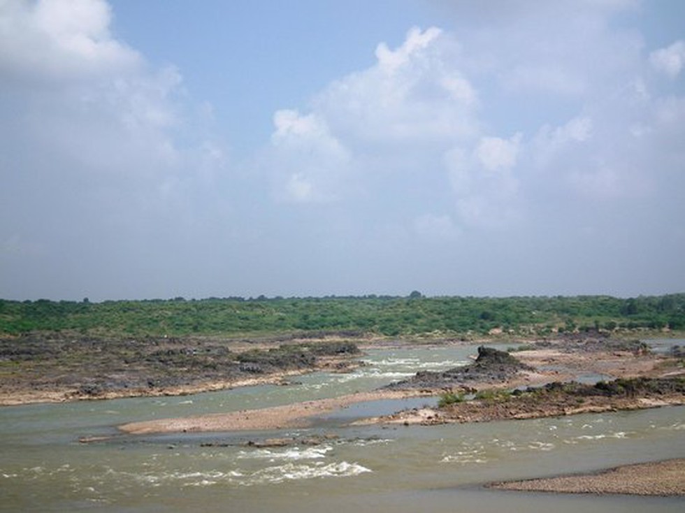
Geological Features: Rocky stretches, rapids, waterfalls, canyons, and gorges define the river’s course.
Tributaries: The Som is its principal tributary, which joins from the right, and the Anas and the Panam joins the river from the left.
Dams: Mahi Bajaj Sagar Dam, Kadana Dam, and Panam Dam
Dear Student,
You have still not entered your mailing address. Please enter the address where all the study materials will be sent to you. (If applicable).