Rwanda's President Paul Kagame has smashed his own record by winning recent elections with more than 99% of the vote.
About Rwanda:
It is a landlocked countrylocated south of the equator in east-central Africa.
It is part of the Great Rift Valley region of Africa.
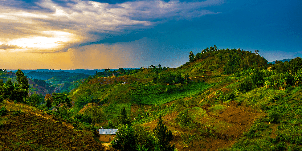
Often referred to as the “land of a thousand hills”, Rwanda’s landscape is mostly hilly and mountainous.
It covers an area of 26,338 sq. km.
Borders: Rwanda shares a border with the four nations of Burundi, Tanzania, Uganda, and the Democratic Republic of the Congo.
Capital: Kigali
Languages: Kinyarwanda, French, English
Money: Rwandan franc
Population:
It is one of the continent’s most densely populated, with approximately a thousand people per square mile.
The Hutu and Tutsi ethnic groups make up most of the country’s population.
The majority of both groups practice Christianity.
Government: In 2003, Rwanda adopted a constitution mapping out a presidential system of government.
Major Moutain Ranges: Albertine Rift and Virunga.
Major Rivers:
Two major African rivers, the Nile and the Congo, flow through Rwanda.
Other major rivers are Kagera, Nyabarongo, Ruzizi, Luhwa, and Akanyaru.
80% of Rwanda's rivers drain into the Nile through Lake Victoria, while the remaining 20% drain into the Congo via the Rusizi River which also has the lowest elevation in Rwanda at 950 m.
Lakes:
Lakes are everywhere in Rwanda. Lake Kivu, located on the western border of the country with DRC, is the largest among them. It is one of the 20 deepest lakes in the world.
Other notable lakes include Burera, Cohana, Ruhondo, Muhazi, Rweru, and Ihema.
Biodiversity: It is one of the most ecologically diverse places in Africa.
The continent’s Albertine Rift region, which covers much of western Rwanda, is home to about a third of Africa’s birds, 40 percent of its mammals, and 20 percent of the continent's amphibians and plants.
Dear Student,
You have still not entered your mailing address. Please enter the address where all the study materials will be sent to you. (If applicable).