The National Green Tribunal (NGT) recently directed the State Environment Impact Assessment Authority (SEIAA) and mines and geology department to stop any unlawful/illegal sand mining in Sharavathi river coastal zone.
About Sharavathi River:
It is a river in westernKarnataka state.
It is one of the few westward-flowing rivers in India and a major part of the river basin lies in the Western Ghats.
Course:
Rising in the Western Ghats, it flows in a northwesterly direction to the Arabian Seaat Honavar in Uttara Kannada District.
The length of the river is 128 km, and the river basin covers 2,985 sq km.
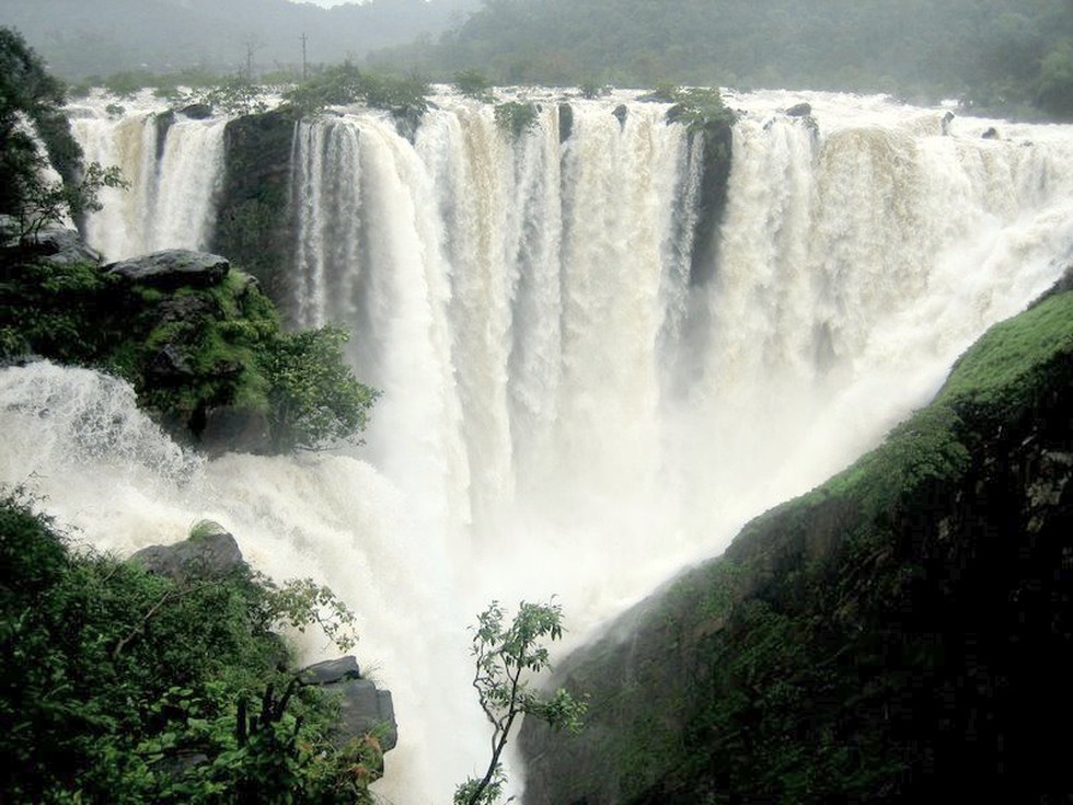
On its way, the Sharavathi forms the Jog Falls, one of the highest waterfalls in India, where the river falls from a height of 253 m.
Major Tributaries: Nandihole, Haridravathi, Mavinahole, Hilkunji, Yennehole, Hurlihole, and Nagodihole.
It is a vital source of hydroelectric power in Karnataka. Currently, the river generates a significant portion (40 percent or 1,469.2 megawatts) of the state’s hydropower using seven existing dams and five tunnels.
Dear Student,
You have still not entered your mailing address. Please enter the address where all the study materials will be sent to you. (If applicable).