China's military recently said its forces had followed and warned a Canadian and an Australian warship, which were sailing through the sensitive Taiwan Strait, in a move it criticised as a provocation.
About Taiwan Strait:
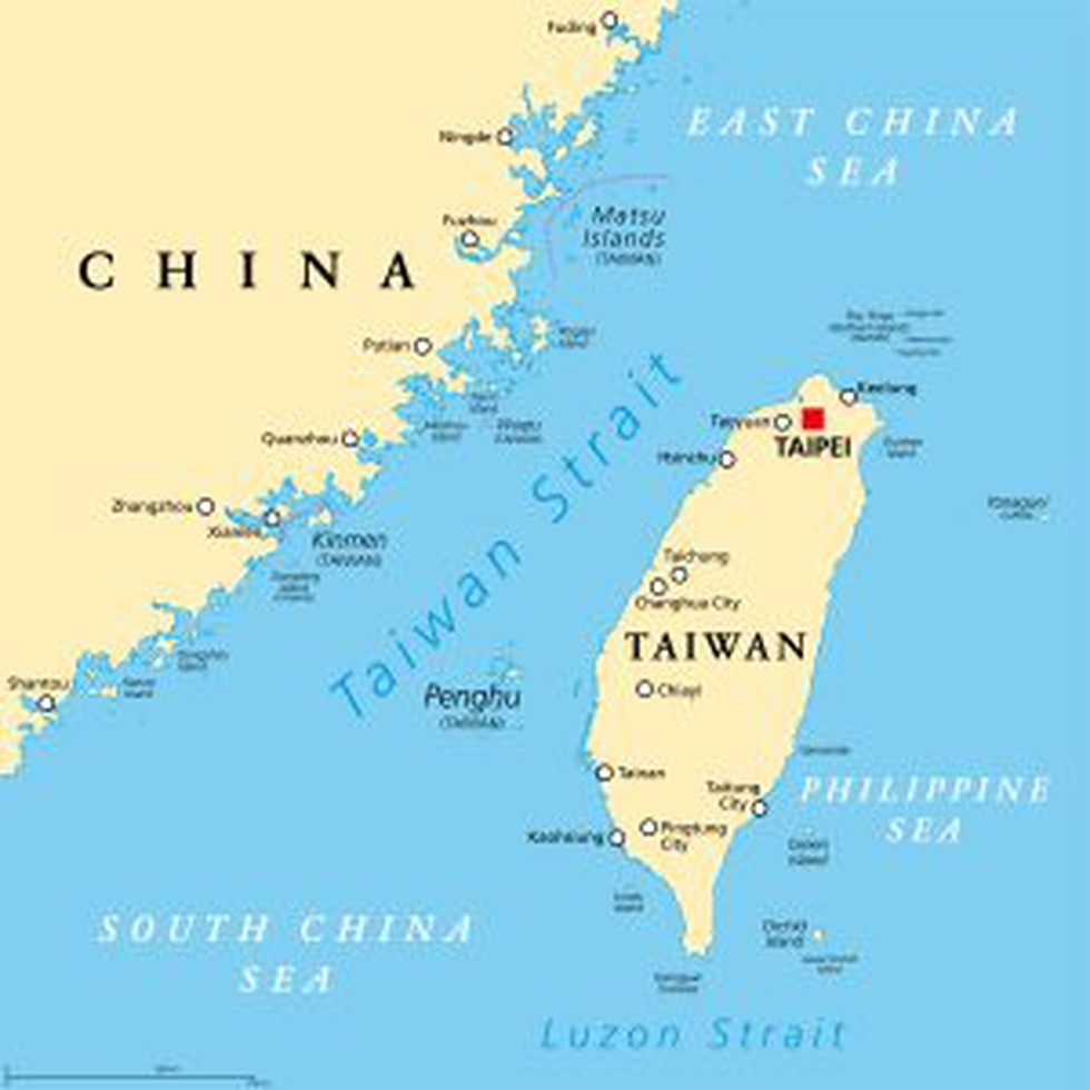
Taiwan Strait, also called Formosa Strait, separates continental Asia and the island of Taiwan.
It extends from the South China Sea in the southwest to the East China Sea in the northeast.
It runs between the coast of the Fujian (Fukien) Province and the island of Taiwan.
It has an average width of 180 km, while its narrowest part is 130 km wide.
It sits on Asia’s continental shelf that runs along the entire stretch of the strait.
It is relatively shallow. It has an average depth of about 490 ft and a minimum depth of 82 ft.
Ports: The chief ports are Amoy in mainland China and Kao-hsiung in Taiwan.
Rivers: Several rivers, including the Jiulong and Min rivers from China’s Fujian Province, drain into the Taiwan Strait.
Islands:
Kinmen and Matsu are two of the largest and most significant islands in the strait located off the Fujian coast of China.
The biggest islands along the Taiwan side include Penghu (or Pescadores),Xiamen, and Pingtan.
The Xiamen and Pingtan Islands are administered by the People’s Republic of China, while the other three islands: Penghu (or Pescadores), Kinmen, and Matsu are under the administration of the Republic of China (Taiwan).
Penghu (or Pescadores) Island is the largest and most populous island in the Taiwan Strait.
It serves as a busy navigational waterway, on which millions of tons of cargo are ferried annually.
The strait is also one of the most important fishing grounds in China, and more than a hundred economically important fish species are found here.
Dear Student,
You have still not entered your mailing address. Please enter the address where all the study materials will be sent to you. (If applicable).