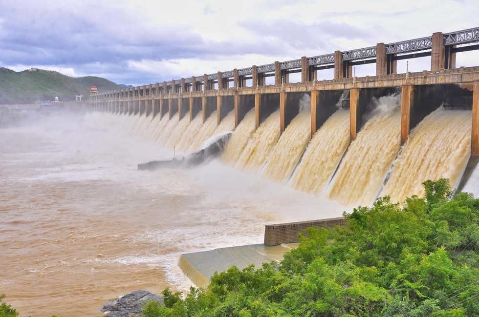
About Mettur Dam:
- It is one of the largest dams in India, built in 1934.
- Location:
- Mettur, Salem District, Tamil Nadu.
- It was constructed in a gorge where the Kaveri River enters the plains.
- It provides irrigation facilities to parts of Salem, the length of Erode, Namakkal, Karur, Tiruchirappali and Thanjavur districts for 271,000 acres (110,000 ha) of farmland.
- Features:
- The total length of the dam is 1700 m with a maximum level of 120 feet and a capacity of 93.4 tmc ft.
- The dam creates Stanley Reservoir.
- Set at the foot of the dam in 1937 is the Mettur hydroelectric and thermal power plant, with a hydro-power generation of 32 MW.
- There is a park adjoining the Dam on the opposite side with lawns and fountains, and also has the Muniappan/Aiyanar statue in the vicinity.
Key Facts about Kaveri River:
- Kaveri, also spelled Cauvery, is a sacred river of southern India. It is known as the Ganga of South India.
- Origin: It rises on Brahmagiri Hill of the Western Ghats in southwestern Karnataka state.
- It flows in a southeasterly direction for 765 km through the states of Karnataka and Tamil Nadu and descends the Eastern Ghats in a series of great falls.
- The Cauvery basin extends over the states of Tamil Nadu, Karnataka, Kerala and the Union Territory of Puducherry.
- The river drains into the Bay of Bengal at Poompuhar in the Mayiladuthurai district of Tamil Nadu.
- Major left bank tributaries: Harangi, the Hemavati, the Shimsha and the Arkavati.
- Major right bank tributaries: Lakshmantirtha, the Kabbani, the Suvarnavati, the Bhavani, the Noyil and the Amaravati
