About the NISAR Mission
- NISAR (NASA-ISRO Synthetic Aperture Radar) is a joint Earth observation satellite mission developed by NASA and ISRO under a bilateral agreement signed in 2014.
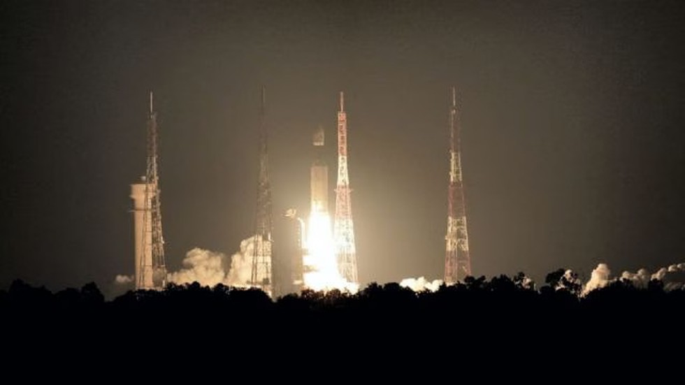
- The satellite is scheduled for launch in June 2025 from the Satish Dhawan Space Centre, Andhra Pradesh, aboard ISRO’s Geosynchronous Satellite Launch Vehicle Mark II (GSLV Mk II).
- It marks the first-ever collaboration of its kind between India and the United States in radar-based Earth monitoring from space.
- NISAR aims to map the entire Earth’s surface every 12 days, enabling high-frequency, precise, and repeat observations.
- It will monitor ecosystem changes, ice sheet dynamics, vegetation patterns, sea level rise, and groundwater variation, and will track natural hazards like earthquakes, volcanoes, tsunamis, and landslides.
Key Features and Components
|
Feature
|
Details
|
|
Thermal blanketing
|
Uses gold-coloured thermal blankets to maintain the satellite’s optimal temperature.
|
|
Radar payload
|
Core instrument for capturing Earth surface movement and geophysical changes.
|
|
Spacecraft bus
|
Supports power generation, communication, navigation, and attitude control.
|
|
Antenna and Reflector
|
Equipped with a 12-metre drum-shaped wire mesh reflector, the largest in space, to enhance signal focus and surface imaging precision.
|
Technological Advancements
- Dual Radar System: NISAR is the first satellite to use two radar frequencies simultaneously — L-band (NASA) and S-band (ISRO).
- L-band Radar: Penetrates dense forests and soil, useful for volcanic and seismic zone monitoring.
- S-band Radar: Offers higher resolution surface imaging, operating at 2–4 GHz frequency and 8–15 cm wavelength, ideal for urban and terrain analysis.