Recently, Chile and Argentina ranked among the coldest places on Earth, outside the polar regions as polar anticyclone grips region.
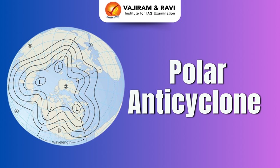
About Polar Anticyclone:
It is a wind system associated with a region in which high atmospheric pressure develops over or in the vicinity of the poles.
The polar anticyclone is strongest in the cold season of the year.
Examples: The Siberian anticyclone is an example of a polar anticyclone, as is the high-pressure area that forms over Canada and Alaska during the winter.
Formation of Polar anticyclones
Polar anticyclones are created by the cooling of surface layers of air.
This cooling causes the air near the surface to become denser and, at the same time, causes an inflow of air at high levels to replace the denser, sinking air.
These processes increase the mass of air above the surface, thus creating the anticyclone. The weather within the central regions of these anticyclones is typically clear and quite cold. The strength of polar anticyclones is greatest near the Earth’s surface.
It frequently migrate eastward and equator ward in the winter season, bringing cold waves to warmer latitudes. In the summer they provide cool, dry weather as they move toward the Equator.
The boundary separating the cold polar air from the warmer air is called the polar front, and along this frontal surface the extratropical cyclones, or wave cyclones, form. See also front.
Dear Student,
You have still not entered your mailing address. Please enter the address where all the study materials will be sent to you. (If applicable).