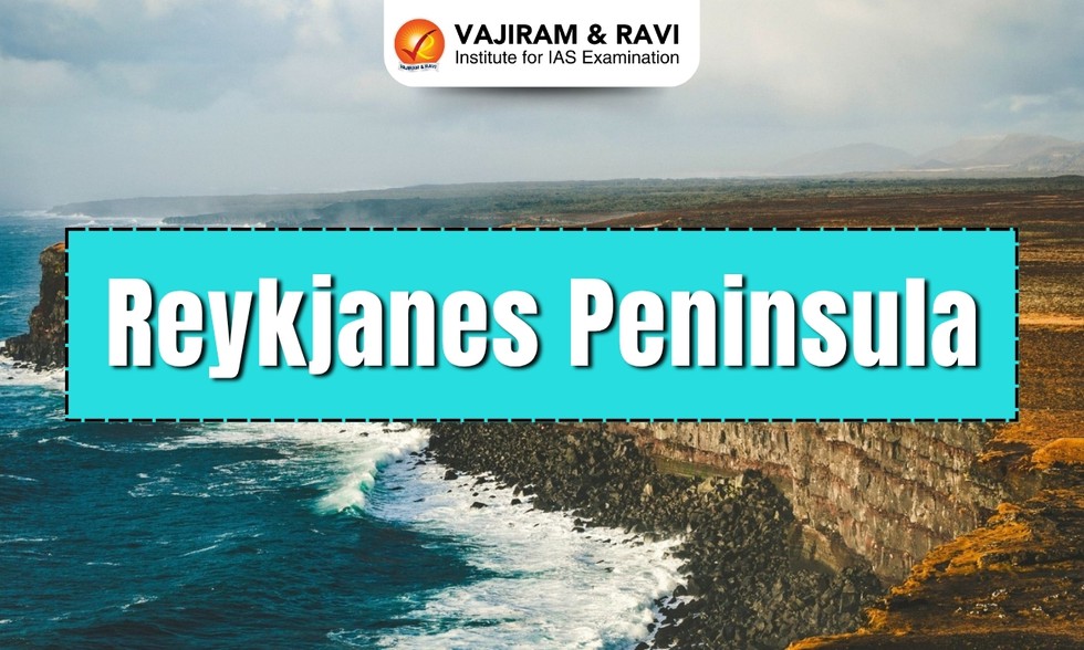
About Reykjanes Peninsula:
- Reykjanes is a peninsula in southwest Iceland, characterized by immense lava fields, volcanoes, and heightened geothermal activity.
- It covers an area of 829 sq.km.
- The peninsula is where the Mid-Atlantic Ridge rises above sea level, creating a dynamic landscape where the North American and Eurasian tectonic plates meet.
- Due to this geological setting, the whole peninsula is extremely volcanically active, covered with moss-coated lava fields and cone-shaped mountains.
- Since 2021, the Reykjanes Peninsula has seen a marked increase in volcanic activity, with eruptions occurring frequently.
- There are frequent earthquakes due to the movement of the tectonic plates, but are commonly minor events that can hardly be felt by humans.
- The peninsula is quite sparsely populated, with the exception of the capital area of Reykjavik, which is the largest city on the peninsula.
- It is also the site of the Reykjanes Geopark, a UNESCO Global Geopark, which showcases the area’s unique geological features, including fissures, lava fields, hot springs, and volcanic craters.
- The Gunnuhver Geothermal Field is among the biggest geothermal fields on the peninsula.