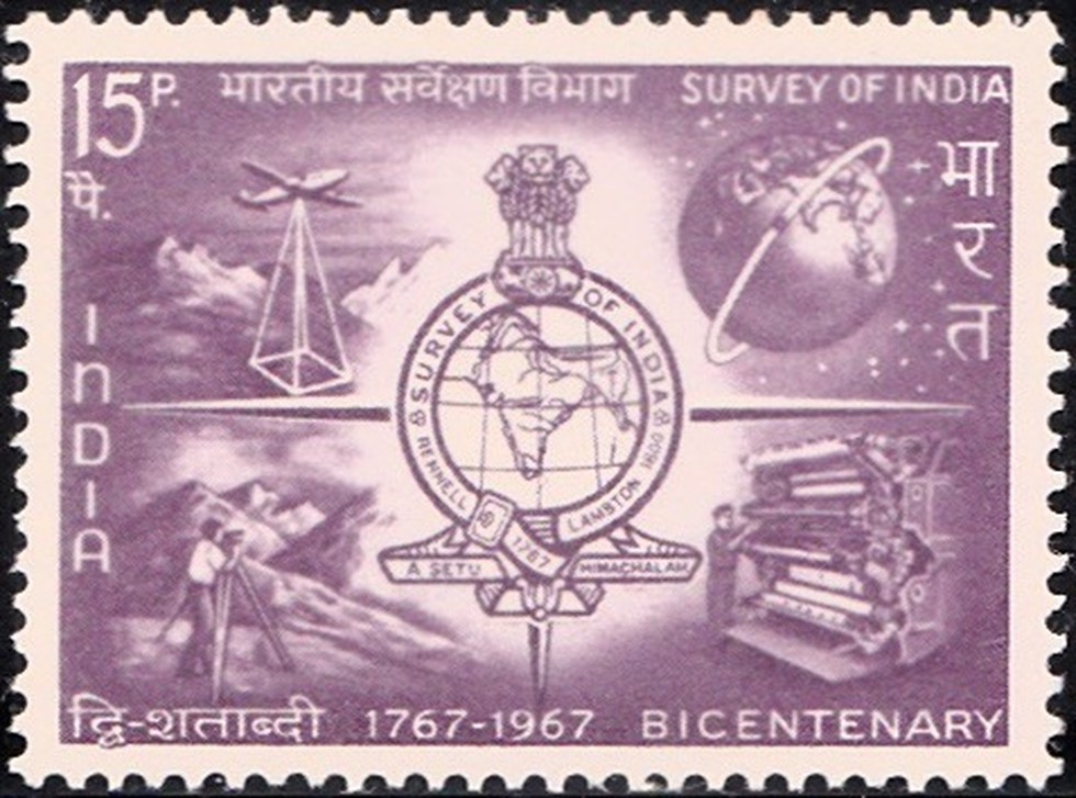
The Survey of India (SoI) will for the first time rely on drones to map the country.
About:
Survey of India will deploy 300 drones for mapping country.
Currently the best SoI maps have a resolution of 1:250000, meaning a 1 cm on the map represents 2500 cm on the ground. The new maps being prepared will be of 1:500 resolution, meaning 1 cm will represent 500 cm.
The aim is to map 75% of India’s geography— about 2.4 million sq km of the 3.2 million sq km — within the next two years. Other than unprecedented detail, High-resolution maps will facilitate digitisation of land titles in villages.
Dear Student,
You have still not entered your mailing address. Please enter the address where all the study materials will be sent to you. (If applicable).