About SWOT Satellite
- The Surface Water and Ocean Topography (SWOT) satellite, launched in 2022, is a joint mission of NASA and CNES (French Space Agency).
- It uses a specialised instrument called the Ka-band Radar Interferometer (KaRIn) to measure the height, width, and elevation of surface water bodies such as rivers, lakes, reservoirs, and oceans.
- SWOT offers high spatial resolution by bouncing microwaves off water surfaces and calculating return time, allowing dynamic water movement
- The satellite covers over 55% of large-scale global floods during their lifecycle through frequent Earth orbits.
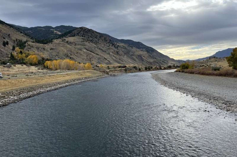
What Are River Waves and Why Do They Matter?
- River waves, also referred to as flood or flow waves, are temporary surges in water flow typically caused by intense rainfall, snowmelt, ice jams, or dam breaches.
- Unlike ocean waves driven by wind and tides, river waves are transient, unsteady phenomena that can stretch for tens to hundreds of kilometers.
- These waves play a crucial ecological role by transporting nutrients and organisms, but also pose flood risks to downstream populations.
- Previously, such large-scale waves could only be detected locally by ground stream gauges, which are sparse in many global regions.