A new study has learned that climate change is increasing the potential for algal blooms in the United Kingdom's River Thames despite a four-decade-long decline in phosphorus loads.
About Thames River:
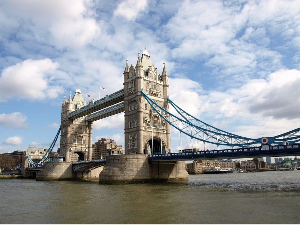
It is a 346-km river that flows through southern England.
It is the longest river in England and the second longest in the United Kingdom, after the River Severn.
Course:
Its source is at Thames Head, near Kemble in the Cotswold Hills, Gloucestershire County.
It flows into the North Sea via the Thames Estuary.
The Nore is the sandbank that marks the mouth of the Thames Estuary and the confluence point of the Thames and the North Sea.
The Thames’ basin covers an area of approximately 16,130 sq.km.
The river passes numerous popular cities along its way, such as London, Reading, Hendley-on-Thomas, Windsor and Oxford, where it is also called the Isis River.
It provides two-thirds of London’s drinking water.
It has been a vital transportation route since ancient times, facilitating trade and commerce between London and other parts of England.
There are 16 bridges that cross the River Thames in Greater London alone, most prominently the Golden Jubilee Bridges and the Millennium Bridges for pedestrians.
Main Tributaries: Lea, Leach, Churn, Coln, Windrush, Kennet, Evenlode, Ock, and Loddon.
Dear Student,
You have still not entered your mailing address. Please enter the address where all the study materials will be sent to you. (If applicable).