Scientists have discovered massive mountains in the Earth’s mantle, a discovery that may change our understanding of how the planet was formed.
About:
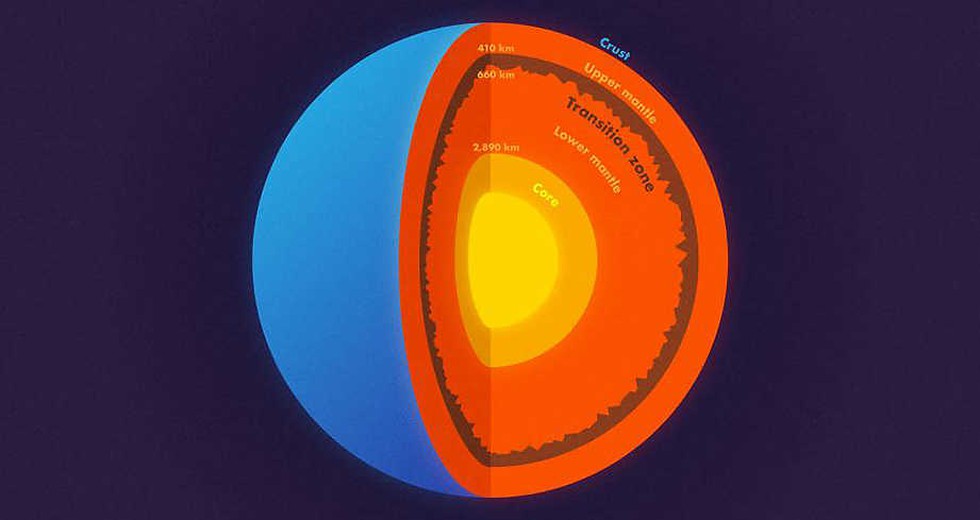
In a study published in the journal Science, scientists used data from an enormous earthquake in Bolivia to find mountains and other topography on a layer located 660 km straight down, which separates the upper and lower mantle.
Lacking a formal name for this layer, the researchers simply call it “the 660-km boundary.”
The presence of roughness on the 660-km boundary has significant implications for understanding how our planet formed and evolved. Till now, it was believed that the Earth has three layers: a crust, mantle and core, which is subdivided into an inner and outer core.
Methodology:
To look deep into the Earth, scientists from the Princeton University in the U.S. and the Institute of Geodesy and Geophysics in China, used data from a magnitude 8.2 earthquake — the second-largest deep earthquake ever recorded — that shook Bolivia in 1994.
Data from earthquakes that are magnitude 7.0 or higher send out shockwaves in all directions that can travel through the core to the other side of the planet — and back again.
Just as light waves can bounce (reflect) off a mirror or bend (refract) when passing through a prism, earthquake waves travel straight through homogenous rocks but reflect or refract when they encounter any boundary or roughness.
Dear Student,
You have still not entered your mailing address. Please enter the address where all the study materials will be sent to you. (If applicable).