
About Ukai Dam:
Key Facts about Tapti River:
NASA recently captivated space enthus...
Union Home Minister recently addresse...
While caution is being exercised ever...
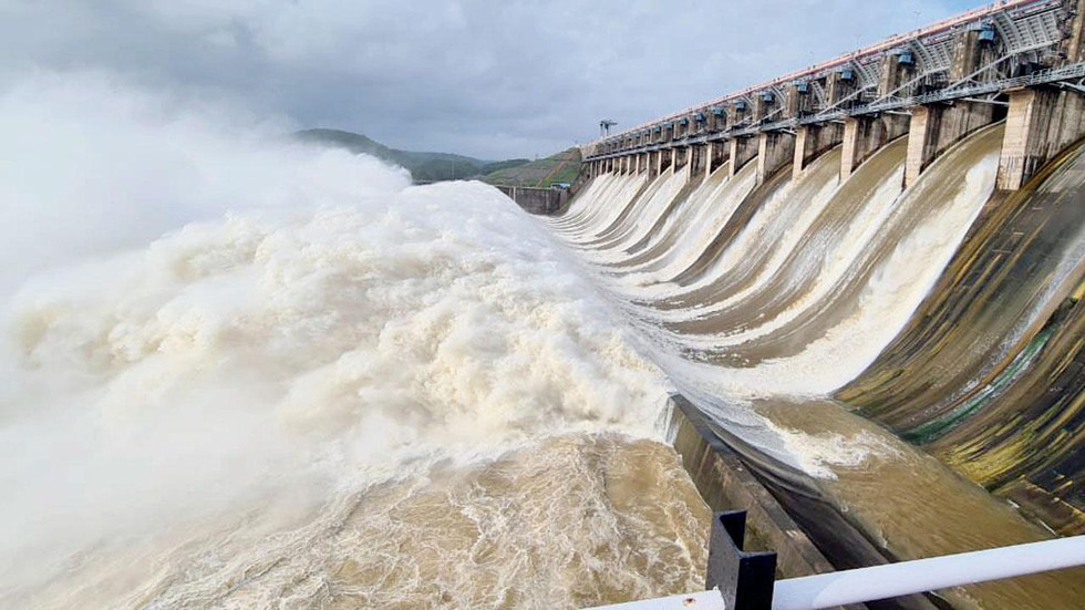
Following rainfall in its upper catch...
The weed, Mikania micrantha, is sprea...
A Standing Committee on Statistics fo...
Recently, the Chief Minister of Odish...
Recently, the Commission for Scientif...
Recently, the Climate and Clean Air C...
Recently, the Union Home Minister was...