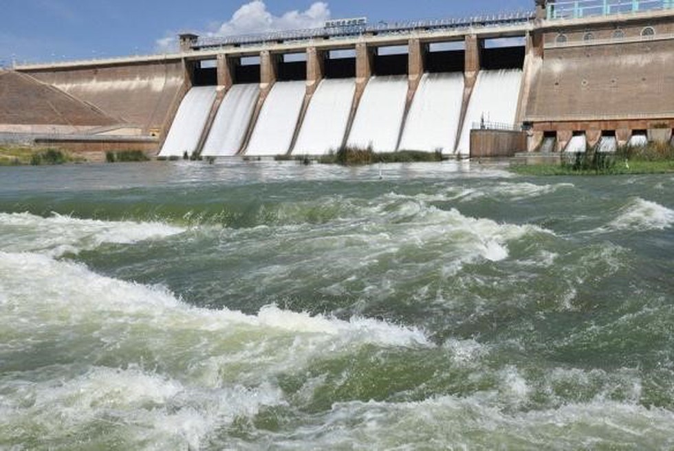
About Vaigai Dam:
- It is constructed across the Vaigai River near Andipatti, in the Theni district of Tamil Nadu.
- It was built in 1959 and is often referred to as the lifeline of the region.
- It has a height of 111 feet and can store 71 feet of water.
- It was primarily built to provide water for irrigation in the Madurai district and the Dindigul district, as well as drinking water for Madurai and Andipatti.
- Near the dam, the Government of Tamil Nadu has constructed an Agricultural Research Station for researching the growing of a variety of crops.
- There is a small garden, called Little Brindavan, that is located in close proximity to this dam.
Key facts about the Vaigai River:
- It is a river in Tamil Nadu state.
- Origin: It rises in the Varushanad Hills of the Western Ghats.
- It travels through the Pandya Nadu regionof Tamil Nadu.
- It is the major river in the fabled city of Madurai, the capital of the ancient and prosperous Pandya kingdom located in southern Tamil Nadu.
- The river finds a mention in Sangam literaturedated to 300 before the Common Era.
- Length: It is 258 kilometres
- Vaigai gets major feed from the Periyar Dam in Kerala. Water from the Periyar Riverin Kerala is diverted into the Vaigai River in Tamil Nadu via a tunnel through the Western Ghats.
- Tributaries: Its main tributaries are Suruliyaru, Mullaiyaru, Varaganadhi, Manjalaru, Kottagudi, Kridhumaal, and Upparu.
- It finally empties into the Palk Strait near the Pamban Bridge in Ramanathapuram district.
- The river fulfils the drinking water requirements of five districts in Tamil Nadu, namely, Theni, Madurai, Ramnathapuram, Sivagangai, and Dindigul. It also provides irrigation for 200,000 hectares of agricultural land.