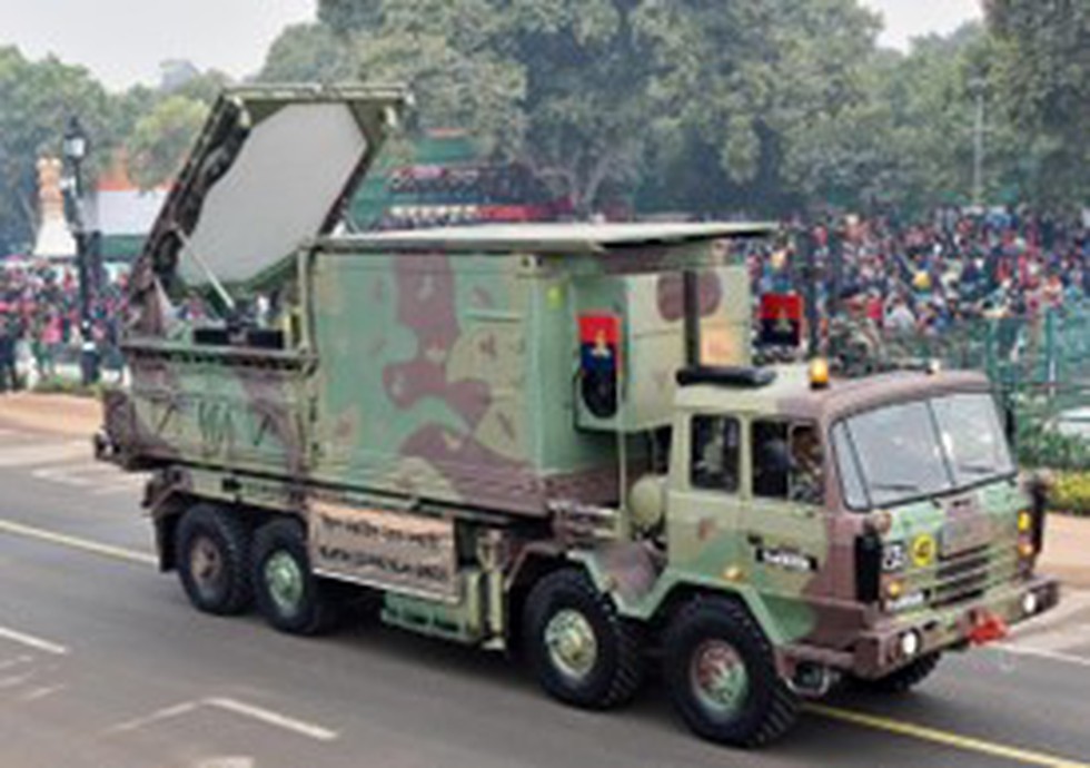
About Swathi Mountains:
- The Swathi Mountains WLR is an advanced electronically scanned phased array radar.
- It is specifically designed for operations in mountainous and high-altitude areas.
- It was developed by Bharat Electronics Limited (BEL) in Bengaluru.
What is a Weapon Locating Radar?
- The WLR stands as a critical asset for modern militaries, employing advanced signal processing techniques to autonomously detect and track hostile artillery, mortars, and rocket launchers.
- It even tracks friendly fire trajectories, enabling precise calculations for more accurate artillery strikes.
- The radar's sophistication lies in its ability to detect and track small projectiles across the battlefield while factoring in environmental conditions for precise launch and impact point estimations.
- A hallmark of the WLR is its high mobility and swift deployment capabilities, allowing it to adapt to changing operational requirements efficiently.
- Its slewable platform further enhances its agility, enabling the scanning of different areas without the need for physical repositioning.
- The WLR also acts as a potent friendly force multiplier by providing critical information on enemy weapon systems.
Swathi Palins vs. Swathi Mountains:
- The Swathi radar comes in two versions: the Swathi Plains (WLR) and the Swathi Mountains (WLR-M).
- The Swathi Plains version is primarily designed to locate hostile guns, mortars, and rockets, and it can also track the fall of shot from friendly weapons for corrective measures on flat terrains like Plains, as the name of the version suggests.
- Swathi Mountains version:
- It is a more compact and mobile version specifically designed for operations in mountainous and high-altitude terrains.
- It is capable of detecting mortar shells and rockets and tracking projectiles.
- It classifies projectile and non-projectile targets, rejecting unwanted signals like birds, clutter, and aircraft.
- It offers trajectory estimation and launch/impact point extrapolation, automatically correcting for height to enhance accuracy.
- The radar system is equipped to store and display trajectory data and maintain communication with higher echelons for better coordination.
