In a first, a tiger was spotted in the Shaukiyathal forest near Jageshwar Dham, Almora, at an elevation of over 6,000 feet in the Terai region of Uttarakhand.
About Terai:
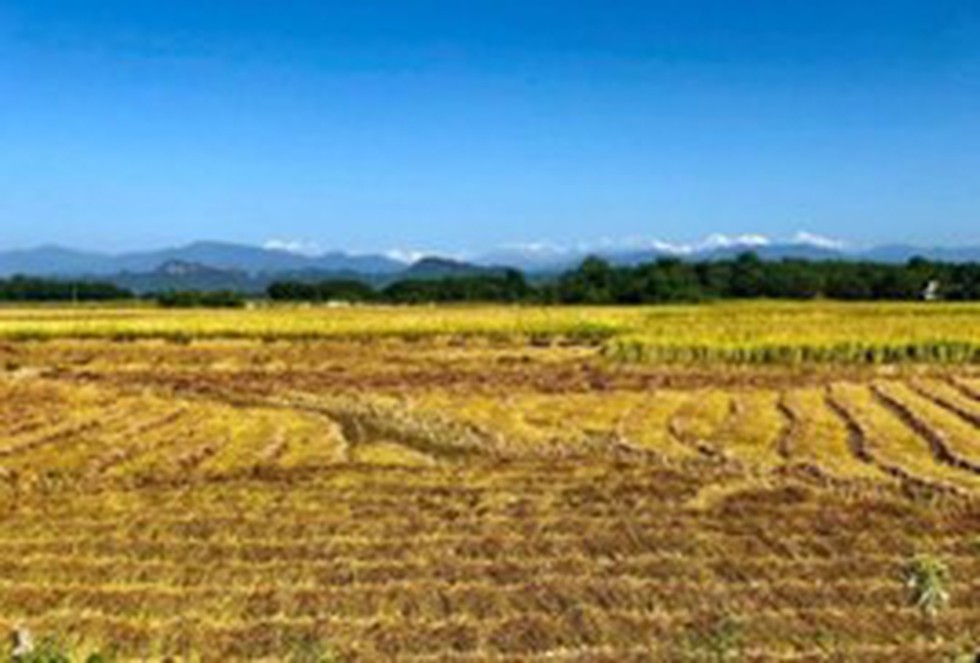
Terai, or Tarai, is a lowland belt of flat, alluvial land stretching along the Nepal-India border and running parallel to the lower ranges of the Himalayas.
A strip of undulating former marshland, it stretches from the Yamuna River in the westto the Brahmaputra River in the east.
It is the northern extension of the Gangetic Plain in India, commencing at about 300 metres above sea level and rising to about 1,000 metres at the foot of the Siwalik Range.
In India, the Terai extends over the states of Haryana, Uttarakhand, Uttar Pradesh, Bihar, and West Bengal.
It extends nearly 800 km from east to west and about 30-40 km from north to south.
The average elevationis below 750 m.
The flatland of Terai was formed by Gangetic alluvium consisting of beds of silt, clay, sand, pebbles, and gravel.
At its northern edge are numerous springsformingseveralstreams, including the important Ghaghara River (left-bank tributary of the Ganges River), that intersect the Tarai and are responsible for its marshy character.
The landscape boasts some of India’s best-known tiger reserves and protected areas such as Corbett Tiger Reserve, Rajaji National Park, Dudhwa Tiger Reserve, and Valmiki Tiger Reserve. In total, the landscape has 13 protected Areas, nine in India and four in Nepal.
Interspersed with the Tarai is the Bhabar, which is a region of coarse gravel and shingle deposits supporting sal (Shorea robusta) forests.
Dear Student,
You have still not entered your mailing address. Please enter the address where all the study materials will be sent to you. (If applicable).