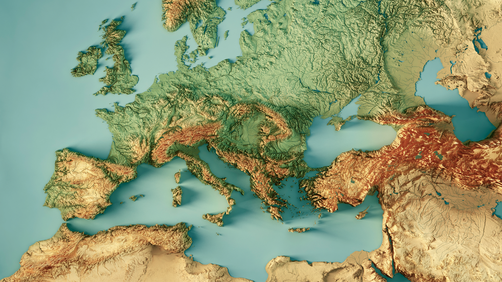
About Messinian Event:
- Also known as the Messinian Salinity Crisis (MSC), the Messinian event was a geological event during which the Mediterranean Sea went into a cycle of partial or nearly complete desiccation (drying up).
- It was one of the most severe ecological crises in the Earth's history.
- The MSC began approximately 6 million years ago (MYA) and lasted until around 5.3 MYA.
- How has it unfolded?
- It began when the connection between the Atlantic Ocean and the Mediterranean Sea was cut off.
- This occurred due to a combination of lowered sea levels in the global oceans and a collision between the European and African plates that caused the land to lift.
- Normally, there is much more evaporation than precipitation over the Mediterranean Sea. This means that much more water is leaving than entering the sea.
- Without a significant source of water from the Atlantic Ocean, this led to the evaporation of much of the Mediterranean Sea.
- A large underground canyon formed, and rivers made deep incisions into the bottom of the basin. This canyon was much larger than the Grand Canyon and had a depth of up to 2,000 metres (6562 feet).
- As the water in the Mediterranean evaporated, the salt that was in the water was left behind and began to build up in layers on the floor of the Mediterranean.
- Two major salts that were deposited on the floor were Halite and Gypsum. Some of the salt deposit areas were 800 metres (2,500 feet) deep.
- However, the salt in the Mediterranean did not deposit on the floor as quickly as the water was evaporating. This means that whatever water was left in the Mediterranean became very salty.
- This high amount of salt in the water (also known as salinity) caused the Mediterranean to become deadly to all marine life.
- The Mediterranean continued to dry up until there was almost no water left.
- It ended with the Zanclean flood when the Atlantic reclaimed the basin.
What is a Deep-sea Canyon?
- Deep-sea canyons are steep-sided valleys cut into the seafloor of the continental slope, sometimes extending well onto the continental shelf.
- These submarine canyons vary in size, shape, and morphological complexity; some were scoured by the flow of rivers during past low sea level periods, but most formed via other erosional processes, such as mudslides, debris flows, and turbidity currents.
