




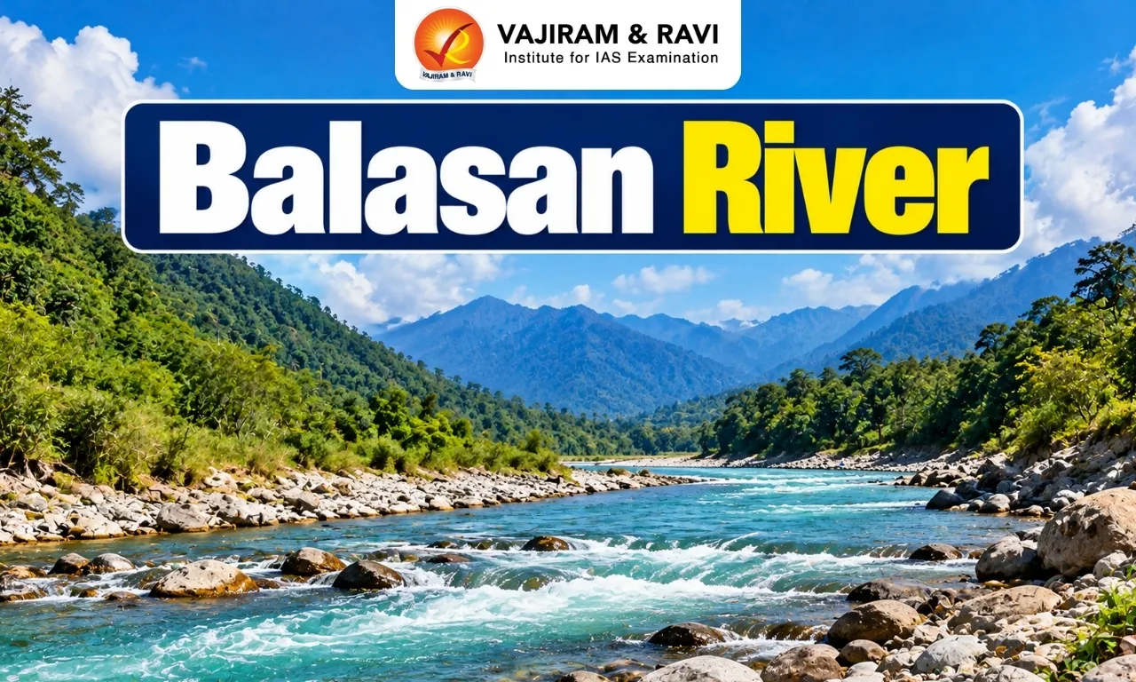
The Balasan River is a perennial river of the Darjeeling region of West Bengal and an important right-bank tributary of the Mahananda River, which belongs to the Ganga river system.
Origin and Course of the Balasan River
The Balasan River originates in the Darjeeling Himalayas and flows southeastwards from the hills towards the plains of North Bengal.
- Origin: It rises near Lepchajagat on the Ghum-Simana ridge, below Tiger Hill, at an elevation of approximately 2,361 metres.
- Course: The river flows from the hilly region through the Himalayan foothills and enters the plains near Dudhia.
- Length: Studies report a length of approximately 48.4 km, while some geographical accounts give a longer estimate. The reported length may vary with the mapping and delineation of the river course.
- Confluence: It joins the Mahananda River at Naukaghat, near Siliguri.
- Naming: The name Balasun is associated with the Lepcha language and reflects the region’s cultural heritage.
Tributaries of the Balasan River
The Balasan receives water from several streams, locally known as kholas or jhoras, particularly in its hilly course.
Major right-bank tributaries include:
- Pulungdung Khola
- Rangbang Khola
- Marma Khola
- Manjwa Jhora
- Dudhia Jhora
Major left-bank tributaries include:
- Bhim Khola
- Rangmuk Khola
- Pachhim Khola
- Rinchigtong Khola
- Ghatta Hussain Khola
Additional streams, including the Rakti and Rohini, contribute to the river system in the lower basin.


Balasan River Basin
The Balasan basin extends across parts of the Darjeeling Himalayan foothills and the adjoining Terai plains of West Bengal.
- The basin includes areas associated with Rangli Rangliot, Naxalbari, Matigara, Jorebunglow-Sukiapokhri, Mirik and Kurseong.
- The upper basin is characterised by steep slopes, high relief and narrow valleys.
- The lower basin has gentler slopes and alluvial deposits, including sand and gravel transported from the hills.
- Heavy monsoon rainfall contributes to high seasonal runoff, erosion and sediment transport.
Drainage Pattern and Geology
The Balasan basin reflects the influence of Himalayan relief, complex geological formations and intense river erosion.
- Drainage pattern: The basin displays a largely dendritic drainage pattern, in which streams branch and join in a tree-like arrangement. Local variations occur because of differences in rock structure and relief.
- Valley characteristics: The upper course has steep slopes, a narrow valley floor and a rapidly flowing channel. The river’s gradient decreases as it enters the plains.
- Geology: The basin contains varied geological formations, including Darjeeling Gneiss, mica schist and rocks associated with the Daling and Siwalik formations. Metamorphic rocks are particularly important in the hilly region.
- Soils: Inceptisols are prominent in parts of the basin, particularly the northern hilly tracts. The lower basin also contains soils associated with alluvial and piedmont deposits.
Geographical and Economic Significance
The Balasan River supports the ecological processes and livelihoods of the Darjeeling foothills and adjoining plains.
- Water resources: The river and its tributaries contribute to local water availability and drainage.
- Agriculture: Riverine and piedmont landscapes support agriculture and plantation activities in the wider basin.
- Sediment transport: The river transports sand, gravel and other materials from the hills to the plains, helping shape the Himalayan piedmont.
- Regional ecology: The river system supports aquatic habitats and connects the hill and plain environments.
- Urban importance: Its proximity to Siliguri makes river management important for settlements and infrastructure in the surrounding region.
Environmental Concerns Associated with the Balasan River
The Balasan basin is vulnerable to natural hazards and human activities that alter river flow, sediment movement and bank stability.
- Soil erosion: Steep slopes, heavy monsoon rainfall and loss of natural vegetation can accelerate soil erosion.
- Landslides: The combination of steep terrain, intense rainfall and geological conditions increases landslide susceptibility in parts of the basin.
- Riverbed material extraction: Excessive extraction of sand and gravel can disturb channel morphology, alter sediment movement and contribute to bank instability.
- Flooding and channel changes: Heavy monsoon flows can cause erosion, sediment deposition and changes in the river channel.
- Riverbank encroachment: Construction and other activities close to the river can affect floodplain functions and increase risks to people and infrastructure.
Conservation and Management Measures
Sustainable management of the Balasan River requires a basin-wide approach that considers both the Himalayan hills and the downstream plains.
- Regulate sand and gravel extraction through scientific assessment and enforcement of environmental rules.
- Protect vegetation on vulnerable slopes and restore degraded areas to reduce erosion.
- Restrict unsafe construction and encroachment in river channels and flood-prone areas.
- Improve rainfall, river-flow and sediment monitoring to support flood preparedness.
- Promote integrated management involving local communities and relevant government agencies.

 Last updated on Oct, 2026
→ UPSC 2027 Notification will be released on 13 January 2027 at upsconline.nic.in.
→ Check Nobel Prize 2026 Winners List here.
→ Check out the latest UPSC Syllabus here.
→ Download UPSC Calendar 2027 PDF Here.
Balasan River FAQs
Q1. Where does the Balasan River originate?+
Q2. The Balasan River is a tributary of which river?+
Q3. Where does the Balasan River meet the Mahananda River?+
Q4. Which type of drainage pattern is found in the Balasan basin?+
Q5. What are the major environmental concerns associated with the Balasan River?+
Tags: balasan river